Metal Detecting Research and Exploration - A Complete Guide, page 25
Understanding Map Scales
LARGE SCALES OF HISTORIC MAPS
Historical maps can be also qualified as large- and small-scale maps.
It is essential to use the large-scale historic maps for map research and pair them with the modern detailed topographic maps if you want to obtain productive leads for treasure hunting research.
In equivalents to the modern Ratio scale expressions, the scales of historical maps that can be used for map research range from 1:3,333 to 1:380,000.
For example, shown below are the ultra-large map scales of the most detailed Swedish historical maps issued in the 17th century and their lexical-scale equivalents.
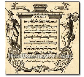
Ultra-Large Scales of 17th Century Swedish Historic Maps and Their Corresponding Lexical Scales
Scale 1:3,333: 1000 yards (0.57 mile or 914.4 meters) on Earth equal to 27.43 cm on a map;
Scale 1:4,000: 1000 yards on Earth equal to 22.86 cm on a map;
Scale 1:5,000: 1000 yards on Earth equal to 18.28 cm on a map;
Scale 1:8,000: 1000 yards on Earth equal to 11.43 cm on a map;
Scale 1:10,000: 1000 yards on Earth equal to 9.14 cm on a map;
NOTE: The paper maps are often shrunk one percent, so it can turn failure of one millimeter on the above dimensions.
Historical maps may carry either lexical scales or scale bars. In both cases, the old maps may cause difficulties in understanding their scales because of rare, old or even archaic units used for scale expressions.
Using an old map with a scale bar eliminates the problem with inevitable enlargement or reduction of the map's copy obtained electronically.
And you can determine the actual ground distances between the objects shown on the map, but only if you are sure that you know the exact value of the distance measure unit expressed on map scale. If you do not know the scale of historic map, you can determine it through simple calculations - see page 27.