Metal Detecting Russian Village Site in St. Petersburg Region (Story 3), page 1
Treasure Hunting At Kostivskoe Village
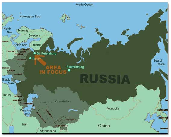
General Map Of Russia
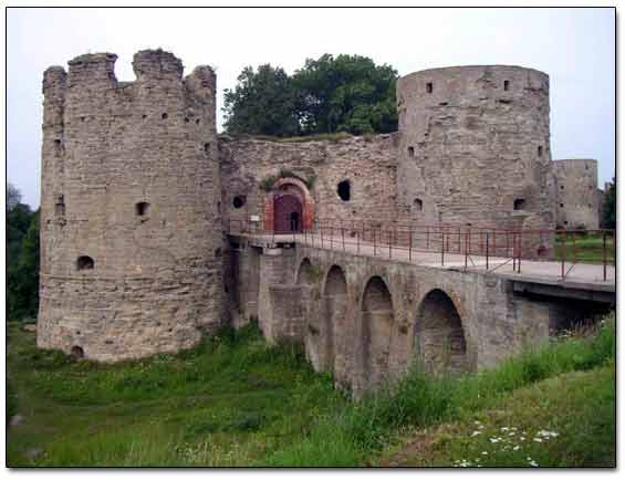
I arrived to St. Petersburg (Leningrad) in June when the metal detecting season had already gained its maximum momentum. Without delay, I contacted my old and new partners and we decided to focus our search on the area around an old city named after a medieval fortress Koporje which was built in 13th century and still stands. The city had been one of the major cultural, military, and trading centers in the Ingermanland (former name of the Leningrad Region) for a few centuries.
This story covers three trips to the site on which a village stood for 400+ years, up to the early 1930s. During the Swedish occupation in early 1600s, the village did not escape the fate of many villages in the area: they were burned down. Then the settlement was rebuilt and inhabited by Swedish and Finnish peasants who were brought to this region from other parts of the vast Swedish Empire.
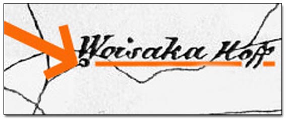
An old Swedish map of 17th century shows that the village was situated on the major cobbled roadway which is just a field path now. On the Swedish map from 17th century, the village is shown under the name of Woisaka Hoff.
A Fragment Of Swedish Map From The Late 1600s
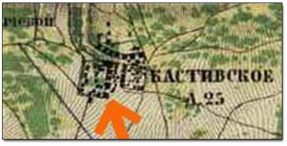
In 1721, after Russian Czar Peter the Great fought the Swedish Army out of Ingermanland, the area became a permanent part of Russian Empire. On the Russian Military-Topographical Map of 1868, the village is marked under the name of Kostivskoe and has 25 homesteads.
A Fragment Of Russian Military-Topographical Map Of 1868